Transit and infrastructure can change how people move through a neighborhood. For a property owner, the key question is simple: does a project make the daily trip easier, more reliable, or more useful for the people who live and work nearby?
This article explains a practical way to review public transit information and local property records. It is general property information only. It is not tax, legal, financial, or real estate advice.
In This Guide
Three checks before you rely on a transit project
Check the project status
Review the agency’s current plan, scope, and public updates.
Check the daily trip
Look at walking routes, transfers, service frequency, and travel time.
Check local records
Compare nearby leases and sales instead of relying on a broad claim.
How to read a transit plan
Public transit plans can show which projects an agency is studying, designing, funding, or building. NJ TRANSIT’s plans and capital-plan materials are a useful starting point for checking an official project description and its current status. [1]
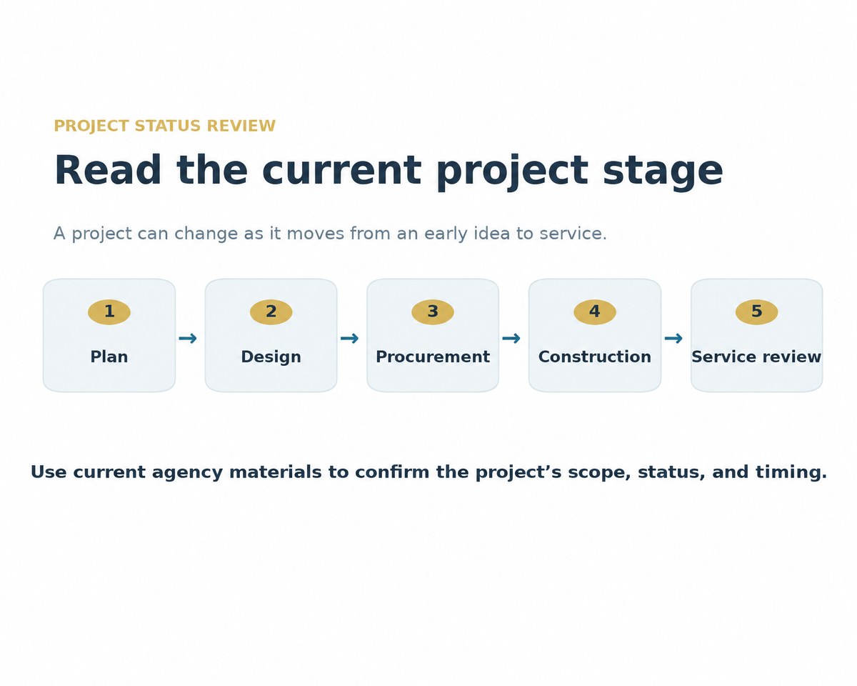
Do not treat an early idea as a completed improvement. A project can change as it moves through planning, design, procurement, and construction. Read the latest agency update before using a project in a property discussion.
Project status can change over time. Use the agency’s current materials for the latest scope and timing. [1]
What makes a location feel connected
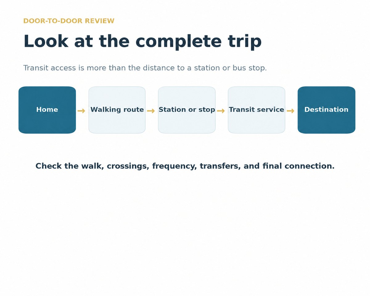
A station on a map is not the full picture. A useful review looks at the walk to the stop, safe crossings, transfer options, service at the times people travel, and the final connection to work, school, or services.
First- and last-mile options matter too. A local shuttle, bike route, sidewalk improvement, or better bus connection can make a trip easier even when the rail line itself does not change. Bergen County’s Transit Management resources describe programs that support local mobility. [2]
Review the complete trip rather than only the distance to a station or bus stop.
How to compare nearby properties
Compare similar properties near the same service. Note the building type, location, condition, lease terms, and actual access to transit. A short walk on a safe route may matter differently from a longer walk across a difficult road.
Use recent local leases and sales for the closest comparison. Broader metro reports can provide context for commercial conditions, but they do not replace property-level information. The National Association of REALTORS® Metro Market Dashboard is one source for wider market context. [3]
Keep the comparison simple and consistent. Record the source and date for each item. This makes it easier to separate a verified local fact from a general claim about a corridor.
Questions to ask about a project
Ask what the project will change for the daily trip. The answer may involve a new route, a more reliable connection, a safer walking path, or a better transfer. Then ask when the change is expected and whether the schedule is supported by an official update.
Ask whether the property is close enough to benefit in a practical way. Look at the route a resident, customer, or employee would take, not just a straight-line distance on a map.
Finally, ask what local records show. Current rents, vacancy, sales, and tenant activity may show whether the area is already changing. Avoid treating a future project as a guarantee.
Common mistakes to avoid
Do not rely on an old news story or a project announcement alone. Check the official source for current scope, funding, and timing. Projects can be delayed, changed, or paused. [1]
Do not assume every property near a transit line has the same access. Street design, walking routes, transfers, and service schedules can create major differences between nearby blocks.
Do not replace local records with a general transit claim. Use current documents for the property and neighborhood you are reviewing.
Sources
Sources for further verification
Use current primary and institutional sources when reviewing a specific project or property.
Start with the agency responsible for the project. NJ TRANSIT’s plans and capital-plan materials provide official project information and updates. [1]
Review the whole trip: walking route, crossings, service frequency, transfers, and the final connection to the destination. A map distance alone does not show the full experience.
No. A project can change before it is complete. Check official updates and compare local property records before treating a transit improvement as a fact for a specific location. [1]
The NAR Metro Market Dashboard can provide broader commercial context. It should be used with current local property records. [3]
Considering a Sale?
Talk to X1031 Exchange Before Your Closing
Contact X1031 Exchange to learn about the company’s services. For tax, legal, financial, or real estate advice, work with your own qualified professionals.